On 31 August 2021, the Church of England published The National Burial Grounds Survey to announce the commencement of the next stage of the digital mapping and database of all burial grounds in England. Further information is in an accompanying Press Release. The relevance of this initiative to “law and religion” lies in the extent to which this information may be of value to the consistory courts and others with an interest in this area.
Scope
The Church of England, with support from Historic England and other partners including Caring for Gods Acre, has created a digital map and database of all burial grounds in England; this is accessible through the Church Heritage Record. Work on this is now complete, and the next phase is about to begin – recording in detail the grave memorials and ecology of its churchyards, and linking these with other resources through the Church Heritage Record. This is being undertaken on the Church of England’s behalf by Atlantic Geomatics. The first surveys by Atlantic Geomatics to be publicly available was undertaken on the churchyards of the United Benefice of Kirburton All Hallows and Shelley Emmanuel, Diocese of Leeds.
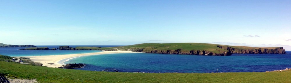
The project will now record all Anglican burial grounds in this same way, diocese by diocese, beginning with Carlisle and Truro; the CofE Press Release indicates that the churchyard of St Bega on the shores of lake Bassenthwaite, Diocese of Carlisle, was the first to be scanned by surveyors using sophisticated laser equipment as part of the national programme.
Mapping the churchyards
Overview
A description of the Burial Ground Management System (BGMS) is provided on the Atlantic Geomatics web pages, which outlines the potential of the system. A new website will go online next year giving free access to the map which is expected to be of special interest to local community groups, conservationists, and those researching family history; this will also enable the charting of biodiversity and green technology. The project comes at no cost to parishes or dioceses in the Church of England, and parishes will have free access to the map through a new web-based record system, set to be launched in Spring 2022. There will also be the option to subscribe to additional services.
Substantial funding for the programme has been given by Historic England, with the National Lottery Heritage Fund and Caring for God’s Acre supporting the pilot phase, as well as support from genealogy research websites, all of which has allowed the basic service to be made available to parishes free of charge.
Practicalities for the parishes
The Diocese of Truro explains
“The project is free to parishes and all the work will be done by a team from Atlantic Geomatics, the company hired by the Church of England to undertake the work. All that is required from the parish is access to the churchyard and church so that the mapping and digitizing of the parish records can occur. These digital records and images will then be integrated with the Church Heritage Record, the national database of the Church of England, which the diocese has access to.
A simplified version of the digital map and images of the records created will be safely and permanently curated and will be freely available for parishes and the public to view. Other more complex functionality, such as managing the map and searching across the national database, will be available on payment of a subscription.
Staff from Atlantic Geomatics will be in touch with parishes to arrange a date to come and complete the work. The ground survey is expected to take less than half a day and involve a member of Atlantic Geomatics staff walking through the churchyard with a backpack containing an array of lasers and cameras. There will be no impact on the churchyard or people and it is not necessary to close the churchyard for this purpose.
Only visible memorials will be surveyed and mapped. Atlantic Geomatics staff will also digitize any parish records held in the church or elsewhere.”
Mapping and the consistory courts
The availability of accurate maps of churchyards will provide the courts with a further source of information on: location of burial plots, their size and spacing; paths and rights of way; range of styles of headstones (shape, size colour, lettering &c) and nature of inscriptions. A number of features of the Atlantic Geomatics Burial Ground Management System (BGMS) have the potential to access inter alia: burial record details; memorial images; view and manage reserved and available plots; maintain grave ownership records; measure lengths and areas. Some issues of relevance to public engagement will also be of interest:
- History: who is where and what is the pattern of burials over time?
- Art & Culture: where is a specific funerary artefact or specific graves?
- Biodiversity: what trees are where and how has the cemetery evolved?
A splendid initiative, but I fear it will run into trouble with urban churchyards, some of them closed or partially-closed, which is where much genealogical interest lies.
Thanks Michael.
The initiative seems to have received general approbation; I tried to distinguish between the capabilities of the Atlantic Geomatics system as stated on their website, and the CofE deliverables – which in practice may not be quite aligned. The comments of the Diocese of Truro seemed the most pertinent as these are directed at its parishes, and these will be first to experience the initiative.
In addition to the issue of urban churchyards, I would be concerned about the long term costs and data access/ retention. In Oxford we had the excellent “data heavy” initiative Oxfordshire Churches in 360 degrees@oxfordshirechurchesin360degrees. However, last December, its Facebook page stated:
“Unfortunately, this huge resource [covering 101 churches] is not available at the moment due to webhosting space issues and cost increases by the webhosting company. The resources have been saved offline. Once webhosting space issues have been sorted, this resource will be made available again.”
We had Atlantic Geomatics in about three years ago to survey our churchyard. It’s an excellent system, especially with the improvements made in the last couple of years. It’s fair to say that there is a great deal of work in transcribing registers, photography, and linking all the records together.
In our case, we have a pre-1950 section for which there were no records – the only identifiable plots being those where the memorials remained legible – and a modern section for which there were reasonably good paper records.
Reconciling the data from the various sources is now nearly complete, thank goodness, with just one garden of remembrance section remaining to finish. Top tip for anyone laying out a garden of remembrance: 9″x9″ plots packed tight turn out not to be a good idea.
Fascinating project to undertake. Wonder is this will identify mass graves from cholera or when infants were frequently buried with a convent adult because of poverty etc. In Stoke minster churchyard there are no early plans/locations etc so I don’t see how any identification etc can take place. Also because of early flooding from nearby Trent skeletons have deteriorated. The burial ground has existed for over 1000 years and wonder will the process when many died if the plague etc. What kind of information will this give I would love to know. Studied systole Church etc for last thirty years.
Dr Richard Talbot MBE leading historian of North Staffordshire.
Thank you for your comment Richard. Some of the Press coverage indicated that only above ground graves would be mapped, although the parallel study of the church record might reveal additional information. The CofE Press release indicated that for further information, Joe Elders is the contact joseph.elders@churchofengland.org